Aerial Surveying
UAV Photogrammetry

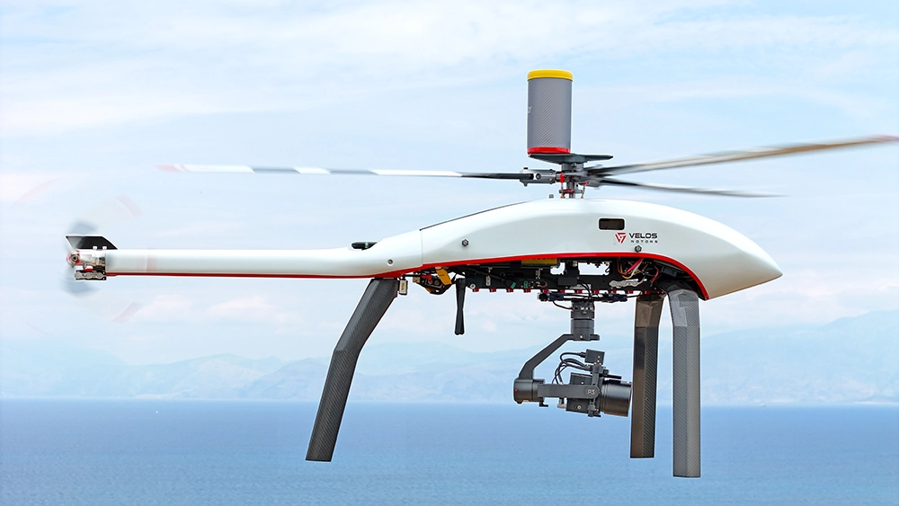
The Velos V3 equipped with a high-resolution RGB camera system, such as Sony ILX-LR1, provides a highly capable solution for UAV photogrammetry. Its 90-minute flight time and high cruise speed enable not only the consistent capture of georeferenced imagery, essential for generating accurate 3D models, but also the coverage of vast areas within a short period. Whether used for topographic mapping, infrastructure planning, or volumetric analysis in construction and mining, the Velos V3 produces exceptionally precise results, even in complex terrain or adverse weather conditions.
Learn more about our applications
Contact us for more information

Get in touch
Submit your inquiry