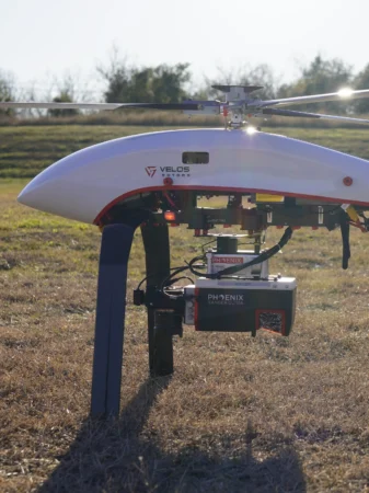
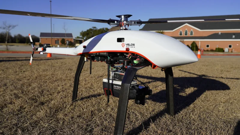
Velos Rotors’ aircraft use a variety of Phoenix LiDARs, such as the Phoenix Ranger VUX-120. It is a cutting-edge airborne laser scanner built for precision, efficiency, and versatility. When paired with the Velos V3 UAV helicopter, this system unlocks unrivaled ROI by reducing operational costs, improving data quality, and providing flexibility across various applications. From utility inspections to forestry management, this integration delivers powerful, scalable solutions for even the most demanding missions..
Key Features
- High Precision: Achieves system accuracy of 2.5–5 cm at 350 meters range, ensuring reliable data for critical applications.
- Extended Range: Operates effectively up to 440 meters Above Ground Level (AGL) at 20% reflectivity, facilitating extensive area coverage.
- Wide Field of View: Features a 100° field of view with unique forward and rear-looking angles to minimize laser shadowing and capture comprehensive data in a single pass.
- Rapid Data Acquisition: Supports pulse repetition rates up to 2,400 kHz, enabling swift and efficient data collection.
- Lightweight Design: Weighs only 3.0 kg, making it ideal for integration the Velos V3.
Maximizing Your ROI with the Velos V3
The Velos V3 UAV, combined with the Phoenix LiDAR Ranger-U120, offers a game-changing solution for businesses looking to optimize resources and achieve superior results. The Velos V3’s fully redundant drivetrain ensures uninterrupted missions, while its IP65 weatherproof design enables operation in rain, snow, or dusty environments. This robust platform minimizes downtime and protects your payload investment, ensuring consistent performance across diverse conditions. By reducing the need for manned aircraft and offering scalable solutions, the Velos V3 and Phoenix LiDAR integration delivers significant cost savings, increased mission versatility, and high-quality data output. Whether you’re managing critical infrastructure, planning mining, railway, utility, forestry, or mapping operations, or conducting large-scale environmental surveys, this solution empowers your business to achieve more with less.


